Aerial Survey Inspection
Drone Aerial Surveys and Inspections
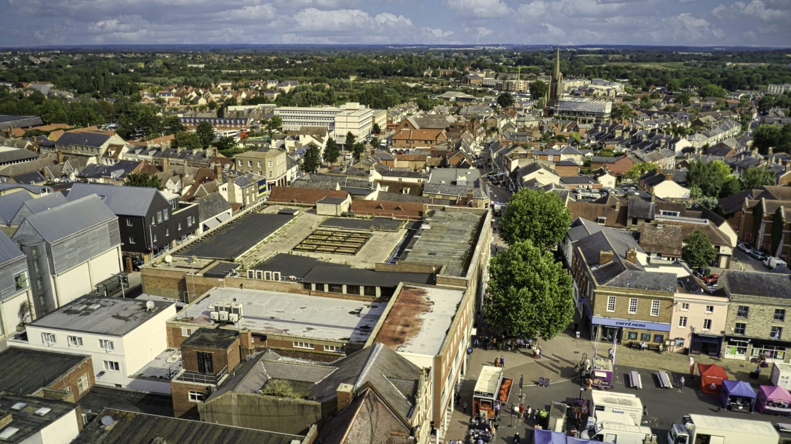
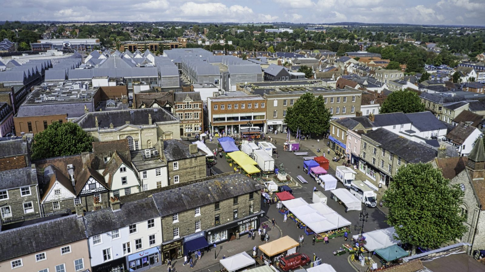
Almost all aerial survey inspections are historically been expensive and time-consuming. For that reason, more clients than ever before are using Drone Imagery for a diverse range of drone surveys and drone inspection applications. As a result, using CAA certified drone aerial systems guided by incredibly accurate GPS guidance systems, detailed high-resolution images and video are available.
Construction Project Surveys
Offering construction project Inspection surveys & service, this comes with edited drone video and aerial images from Drone Imagery’s CAA licensed professional drone operators. Similarly drone roof surveys are valued in the building management industry. Because drones have the ability to provide an enlightening perspective on work progress. Included in the package are high-resolution images and video. Finally, Drone Imagery offers a promotional film creation service that is produced in-house by Drone Imagery editors.
Drone Mapping Services
Drone Mapping in 2D and 3D to facilitates accurate planning and measurement. Drone systems can fly automatically over large areas quickly and safely to provide clear and detailed maps. As a result, data collected provides information to complete maps and 3D models, which in turn are compatible with CAD and other design software.
Property Surveys Using Drones
First of all, Drone Imagery uses CAA certified drone pilots with CSCS cards. The drone photography survey platforms are professional grade 4K video, HDR & 360 image camera systems.
These systems enable work to be fully compliant with industry best practices. This gives clients peace of mind. Aerial drone surveys, filming and photography conducted will be of a high standard and in legal compliance with both aviation laws and construction industry regulations.
Furthermore, our range of solutions are designed to meet requirements across a wide range of industries. From still images to video. A a result our wealth of knowledge across all aspects of drone photography & surveillance. With Drone Imagery you benefit from expert consultancy in the planning and execution of your project.
Drone Roof Surveys & Building Inspections
Drone Imagery’s roof surveys provide footage of roofs that certainly can be difficult to inspect. Therefore with the use of professional drones, this enables excellent insights into building condition and structure. For that reason through HD video, drones are able to identify potential hazards. These include fragile roof deck or detect leaks. Take advantage of Drone Imagery’s drone roof survey service and negate the overheads which can come with hiring a cherry picker or scaffolding in order to survey your roof.
National Drone Survey Provider
Drone Imagery is drone aerial surveys East Anglia’s leader. Drone Imagery teams are fully mobile. Our Company travels the length and breadth of the UK for client projects. Call us today on 07729 224 597 and discover how Drone Imagery can help meet your surveying requirements. Our teams are ready for larger jobs. We can travel to any area in the UK. Including Drone Roof Survey London, Essex, London, Medway, Hampshire, Suffolk, Norfolk, Kent, Kings Lynn, North Norfolk, Bury St. Edmunds, Sudbury, Dereham, Swaffham, Norwich, Great Yarmouth, Clacton, Ipswich, Felixstowe, Cromer, Hunstanton, Diss, Thetford, Peterborough, Newmarket, Cambridge, Ely, Leicester.
Aerial Survey Inspection Clients

Aerial Survey Inspection work with property owners, architects, estate agents, chartered surveyors, local councils, insurance firms, and religious organisations to create and explain drone building surveys, with commercially-approved pilots capturing accurate images and our in-house property expert annotating the outcomes.
Many building owners and property managers have used infrared scanning services to help assess the condition of their roofing systems. Infrared technology is used to locate trapped moisture within roof assemblies.
Infrared cameras are able to assess infrared energy being emitted from roof systems and capture images of the energy patterns. The images can then be interpreted to help determine potential areas of trapped moisture.

Aerial Survey Inspection Drone Roof Inspections Near Me, Aerial Photography, HD Video, Roof Surveys, Industrial Inspections, High Resolution Images, CAA Approved